

Research the
ground
Combine historical, archaeological and landscape information to understand an area before setting foot in the field.
→ Open Research
Layer historic maps, archaeology, landscapes and recorded finds to research promising ground — then save your own finds and build a private map of what you discover.
↓ Scroll to explore
Research. Discover. Record.
Powerful mapping tools and a personal finds map —
all in one platform, built for detectorists.
Combine historical, archaeological and landscape information to understand an area before setting foot in the field.
→ Open Research
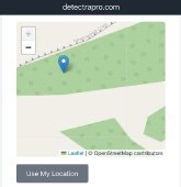
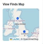
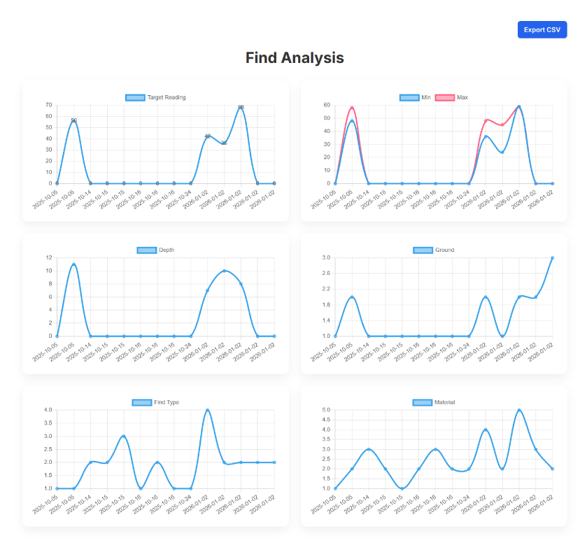
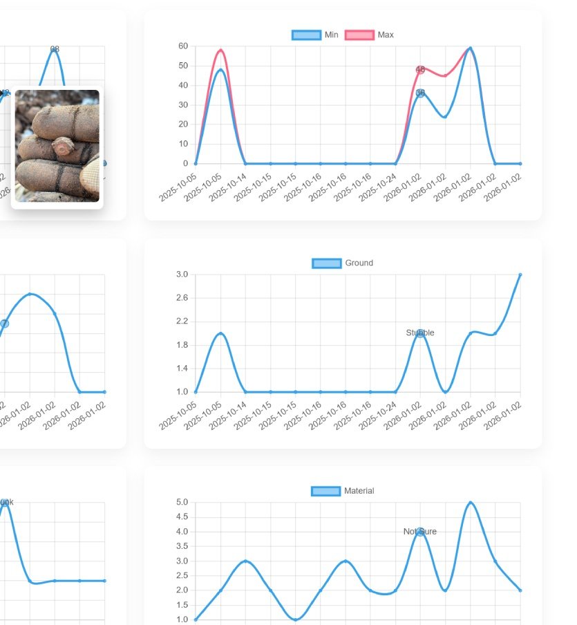
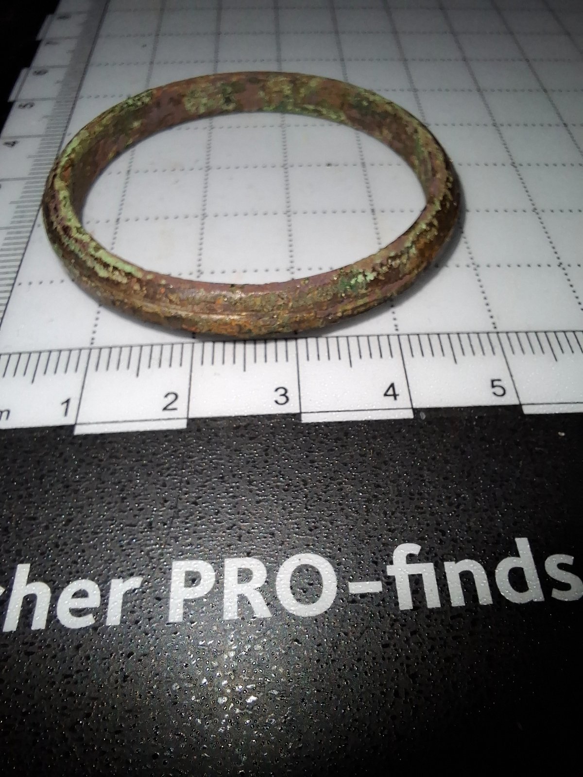
Save where you found something, add photographs and details, and gradually build a private geographical record of your detecting.
→ View My Finds
Combine historic maps, archaeological records, landscape data and more. No single layer tells you where to detect. Together, they help you understand the ground.
Explore the layers →
“Better information
leads to better days
afield.”
Layer maps and records to investigate an area.
Take that knowledge into the field with you.
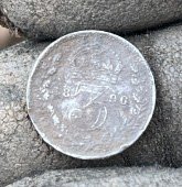
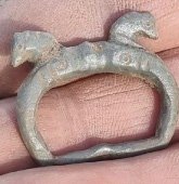
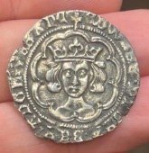
Save the location, photos and details.
Your finds map becomes another research layer.
Research the ground. Save what you discover.
Build a record that becomes more useful every time you detect.