
How to Find Lost Settlements Using Historic Maps
Spot former buildings and settlement patterns without confusing map symbols with confirmed remains.
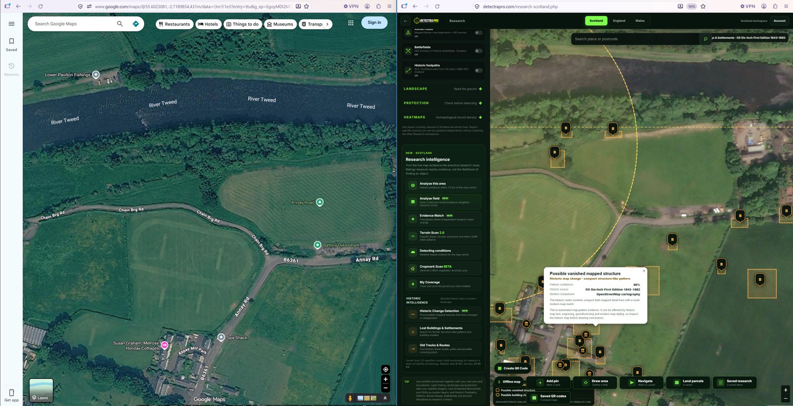
Illustrations should use genuine research screenshots. Research evidence does not guarantee finds.
What counts as a lost settlement?
A former hamlet, farmstead or cluster of buildings may appear on older mapping but not on a modern map. Some were demolished, renamed or absorbed into later development; others survive as subtle landscape traces.
Compare several map dates
Check whether the same buildings appear across multiple historical editions. A feature present on only one map might reflect a survey difference, a short-lived structure or a mapping error.
Use fixed reference points
Align roads, bridges, churches and watercourses before interpreting changes. Historical maps can have positional inaccuracies, so avoid treating a pixel-perfect overlay as definitive.
Check the surrounding context
Routes, enclosures and nearby recorded sites can help explain why a settlement existed. Use DetectraPro historic map change tools and other layers to assemble a fuller picture.
Investigate responsibly
A former settlement may be protected, occupied or on private land. Confirm access rights and designations before any visit, and never assume that an old map grants permission to detect.
Put your research into practice
Try DetectraPro’s research tools in the free demonstration area, or read the full guide to using each map feature.
Always obtain landowner permission and check relevant protections, restrictions and finds-reporting obligations before detecting.