
How to Identify Forgotten Footpaths and Historic Routes
Understand labelled and unlabelled routes and why old paths matter to landscape research.
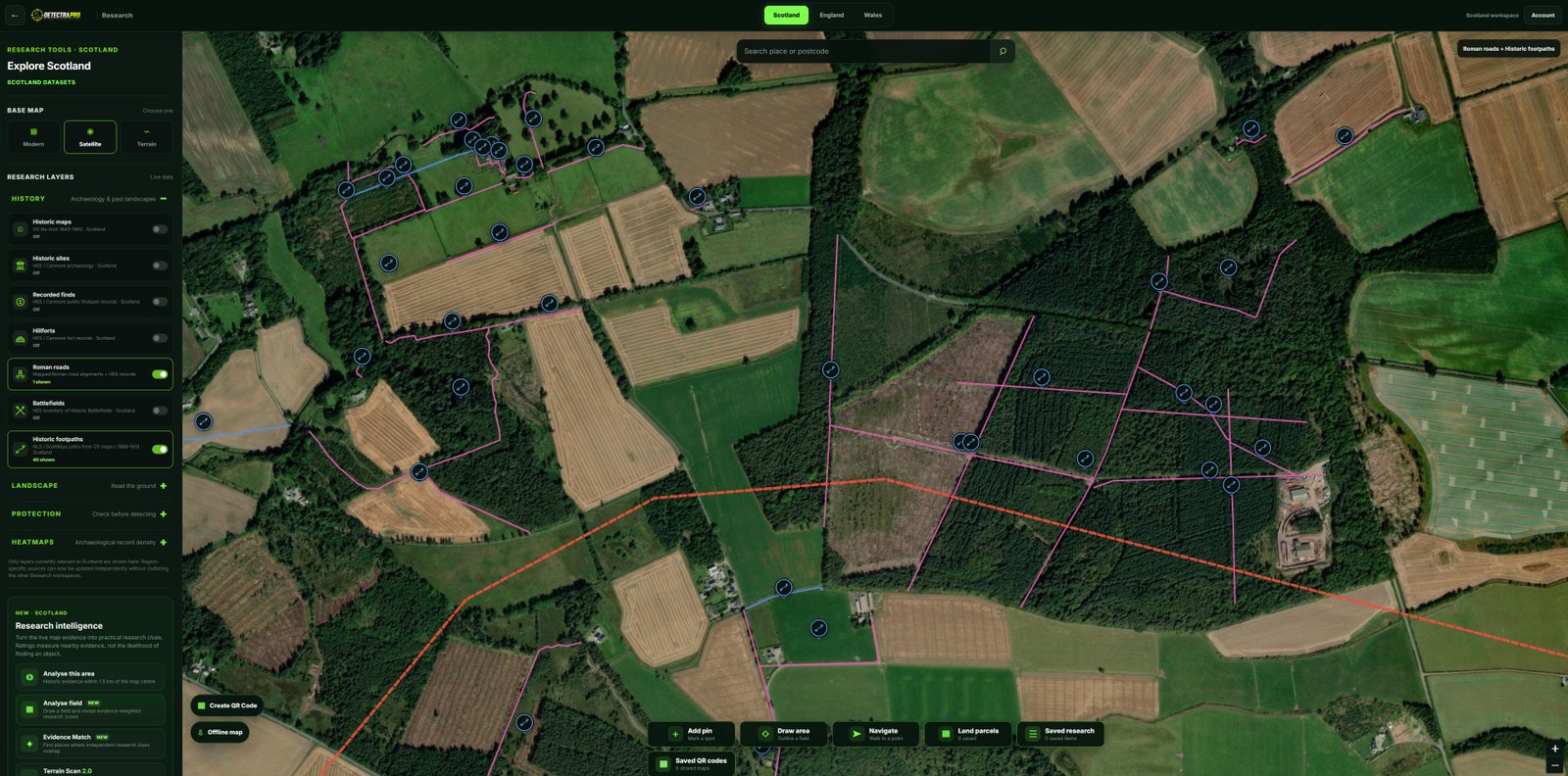
Illustrations should use genuine research screenshots. Research evidence does not guarantee finds.
Why historic paths are interesting
Routes connected homes, farms, workplaces, places of worship and markets. Their changing alignments can reveal how people moved through a landscape, even when the path itself is no longer used.
Understand labelled routes
A labelled route has a recorded name or identifying label on the source mapping, such as Mill Lane, Church Path or an old coach road. A name offers useful context but does not automatically establish its age or original purpose.
Understand unlabelled routes
An unlabelled route appears on the source map without a recorded name. It may be a farm track, footpath, access route or connection between former buildings. Lack of a label does not make it less real or necessarily older.
Compare with the present day
Use modern satellite imagery and historic map editions to see whether the route survives, has moved or has disappeared. Check for alternative explanations such as field boundaries or drainage features.
Research before visiting
Look for nearby buildings, crossings and other records, then use DetectraPro to explore the wider context. Old paths may cross private or protected land, so obtain permission and respect current access arrangements.
Put your research into practice
Try DetectraPro’s research tools in the free demonstration area, or read the full guide to using each map feature.
Always obtain landowner permission and check relevant protections, restrictions and finds-reporting obligations before detecting.