
How to Compare Historic Maps with Modern Satellite Imagery
A beginner-friendly method for finding changes while avoiding common interpretation mistakes.
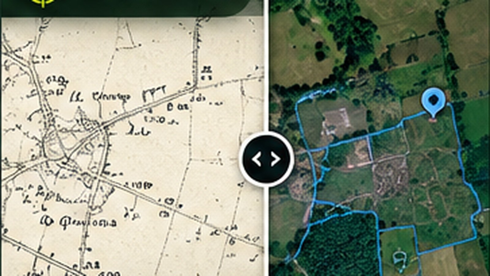
Illustrations should use genuine research screenshots. Research evidence does not guarantee finds.
Choose reliable landmarks
Start with a bridge, road junction, church or other long-lived feature visible in both views. Use several anchors if possible to understand how closely the maps align.
Look for changes that matter
Former buildings, moved roads, altered field boundaries and lost tracks can all suggest questions worth researching. Not every difference is historical: mapping styles and survey accuracy change too.
Use more than two dates
A sequence of historic maps can help narrow down when a change occurred. It rarely tells you why, so supplement it with place-name, archive or site-record research.
Check the terrain and records
Combine map change evidence with available archaeological records and historic routes in DetectraPro. Avoid presenting an unverified outline as a confirmed building or settlement.
Save a clear research note
Capture the location, map dates, source references and your interpretation. Keep observations separate from assumptions so you can revise your conclusions later.
Put your research into practice
Try DetectraPro’s research tools in the free demonstration area, or read the full guide to using each map feature.
Always obtain landowner permission and check relevant protections, restrictions and finds-reporting obligations before detecting.