
How Roman Roads Can Help Your Metal Detecting Research
Use mapped Roman routes as historical context while recognising uncertainty in route reconstructions.
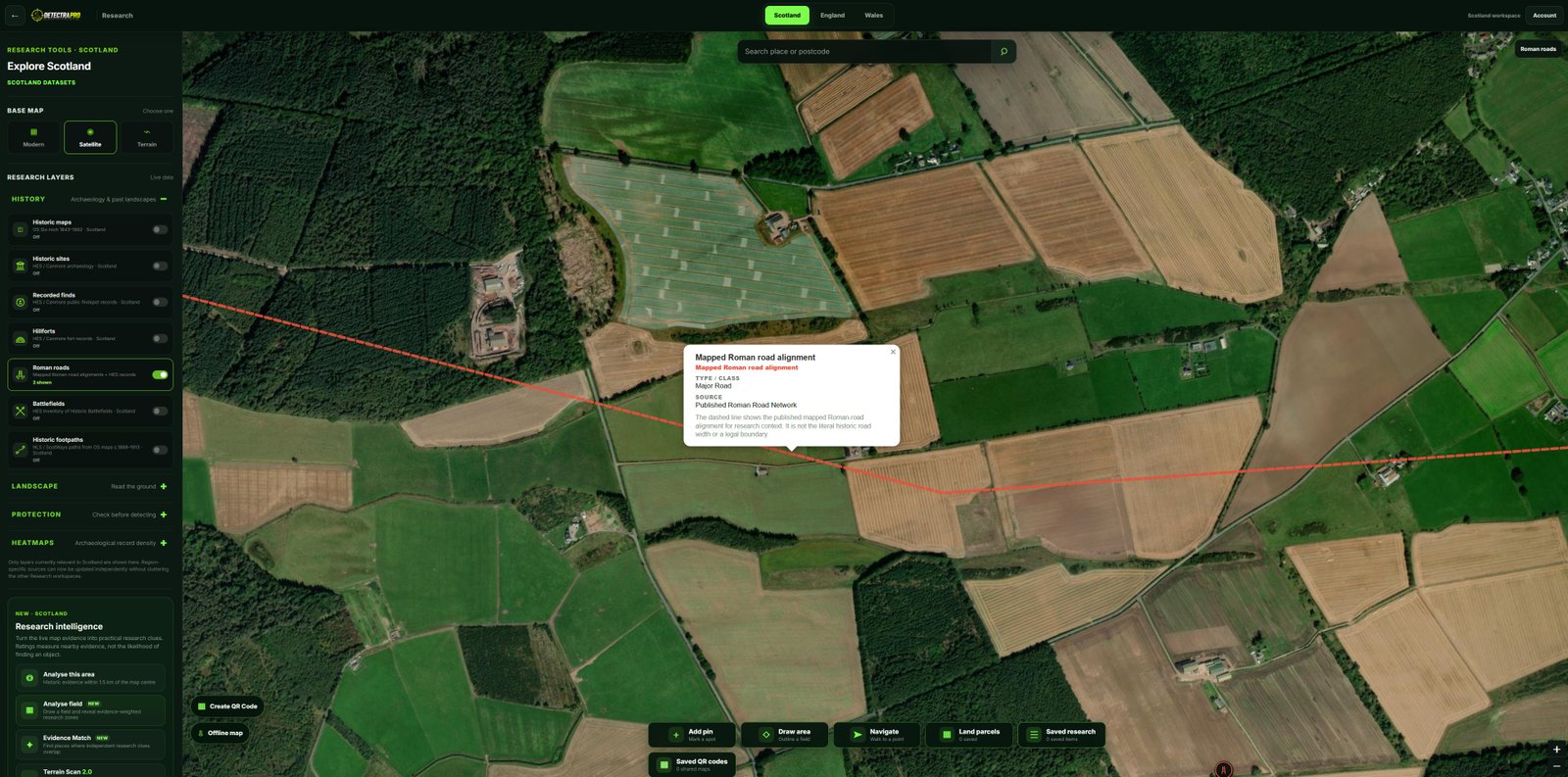
Illustrations should use genuine research screenshots. Research evidence does not guarantee finds.
What a Roman road layer shows
Mapped Roman routes can provide a starting point for understanding movement and settlement in Roman Britain. Some alignments are well evidenced; others are proposed or approximate.
Look beyond the line
A mapped route should not be treated as a precise strip of ground. Research associated settlements, crossings and landscape changes, and read source notes where available.
Compare multiple sources
Check historical records and modern landscape features alongside the DetectraPro Roman Roads layer. Differences between datasets are a reason to investigate, not a reason to force a single answer.
Use area analysis carefully
Analyse This Area can help bring nearby records together. Treat any concentration of evidence as a prompt for further checking rather than a prediction of finds.
Protect the archaeology
Roman remains and associated sites may have legal protections. Always verify designations and permissions before undertaking any activity on the ground.
Put your research into practice
Try DetectraPro’s research tools in the free demonstration area, or read the full guide to using each map feature.
Always obtain landowner permission and check relevant protections, restrictions and finds-reporting obligations before detecting.